Nov 07 Hike


Home Up


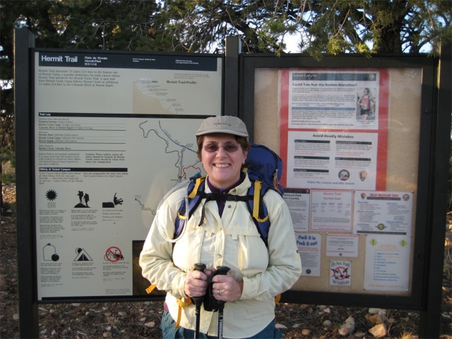
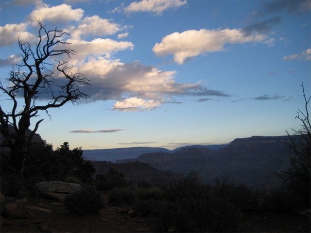
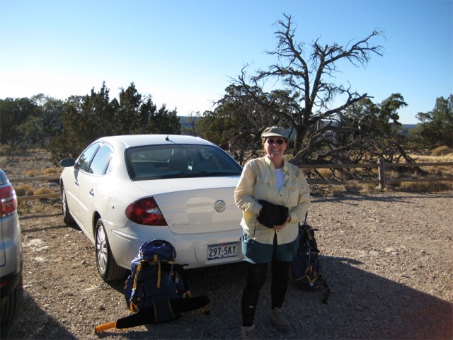
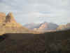
November 5, 2007 - Grand Canyon - 6 Days
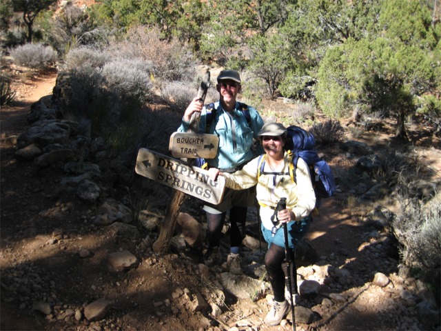
 Hermit-Boucher Loop


img_0465.jpg (103436 bytes)


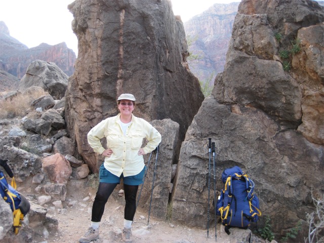
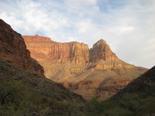
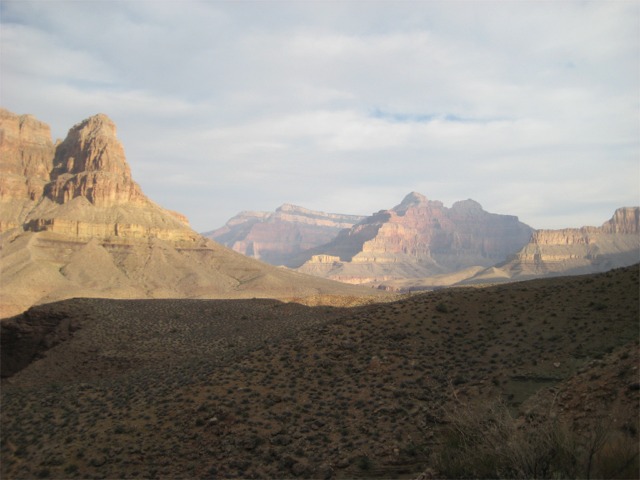
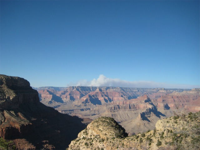
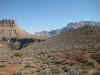
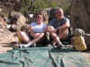
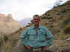
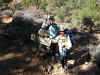
Kathy and I had a goal to complete all of the South Rim trails from the Little Colorado River confluence to the Boucher Trail. With this hike, we have now met that goal.


img_0483.jpg (144662 bytes)    img_0485.jpg (100758 bytes)    img_0503.jpg (158287 bytes)    img_0519.jpg (132428 bytes)    img_0524.jpg (117018 bytes)

img_0531.jpg (104502 bytes)    img_0544.jpg (99344 bytes)    img_0553.jpg (108483 bytes)    img_0556.jpg (115824 bytes)    img_0559.jpg (88522 bytes)


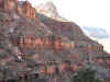
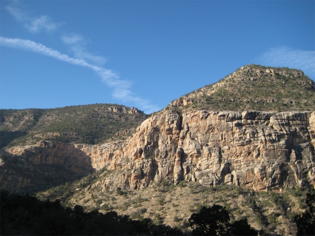
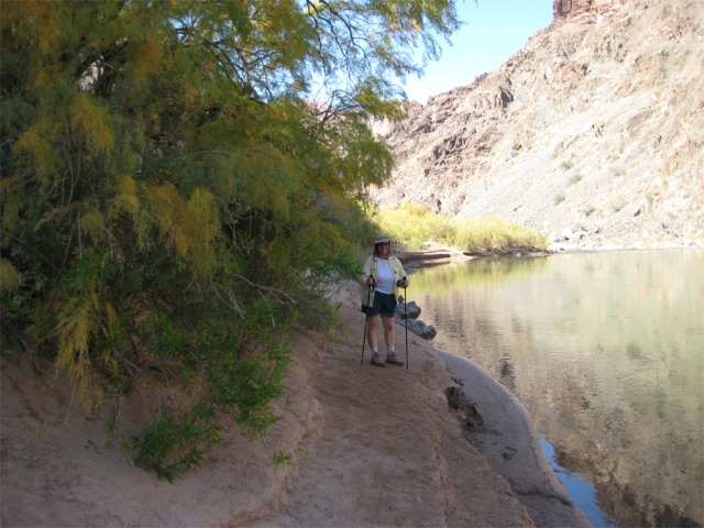
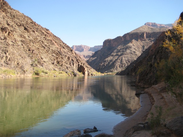
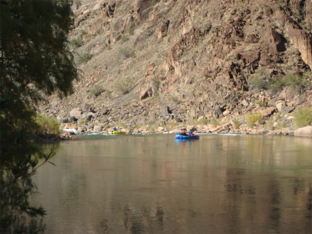
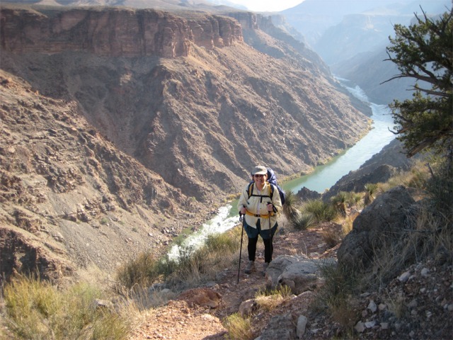
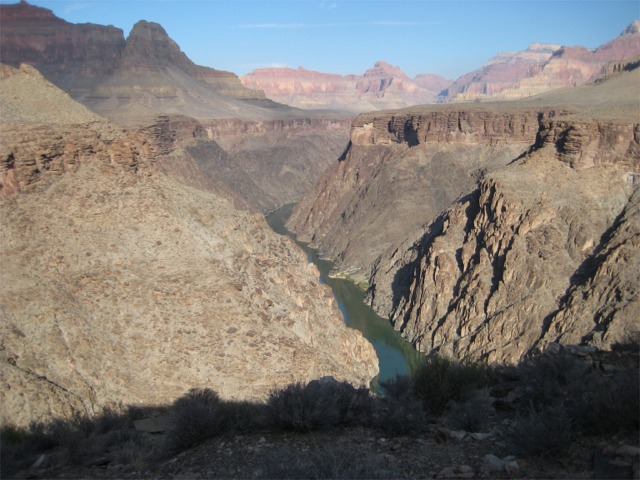
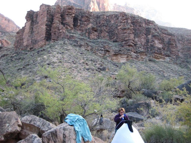
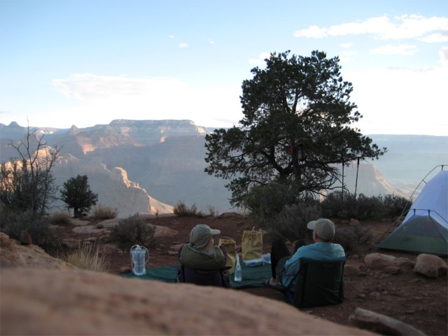
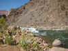
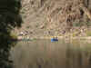
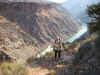
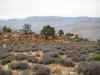
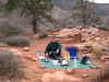
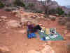
We camped the first two nights at Hermit Creek (BM7), with a daytrip on the second day to Hermit Rapids where we had lunch and watched a river trip running the rapids.


img_0570.jpg (119871 bytes)    img_0571.jpg (119925 bytes)    img_0589.jpg (112340 bytes)    img_0593.jpg (129380 bytes)

img_0600.jpg (137539 bytes)    img_0601.jpg (104064 bytes)    img_0602.jpg (89363 bytes)    img_0606.jpg (106922 bytes)


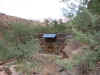
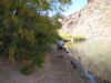
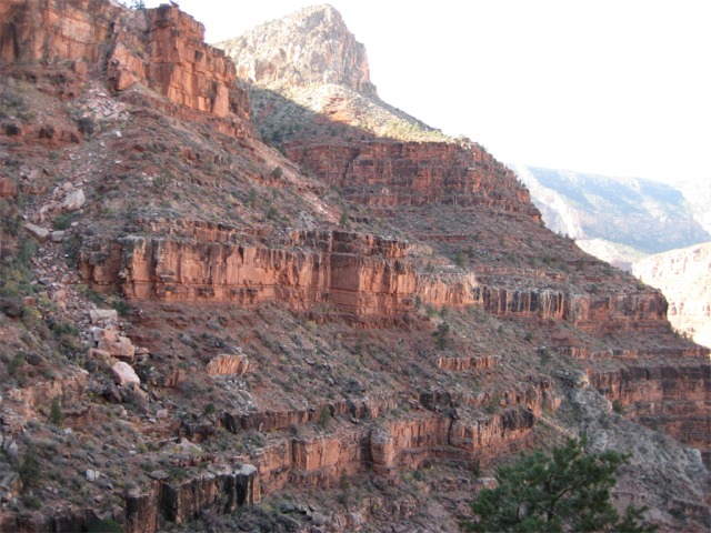
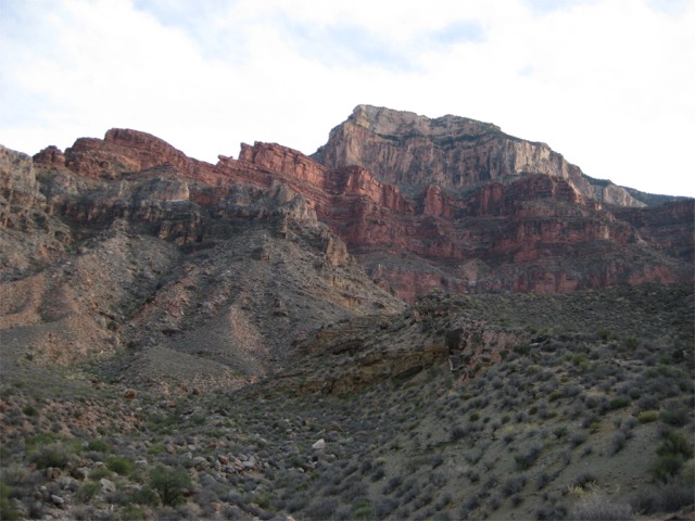
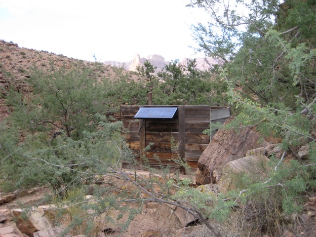
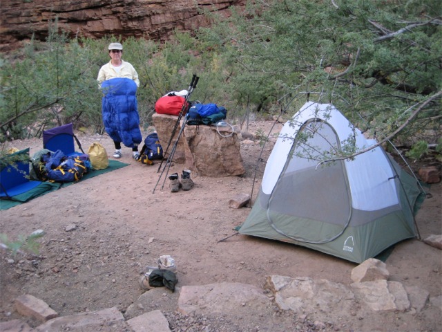
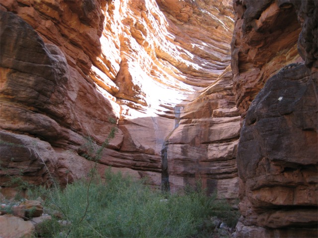
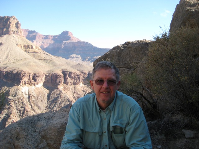
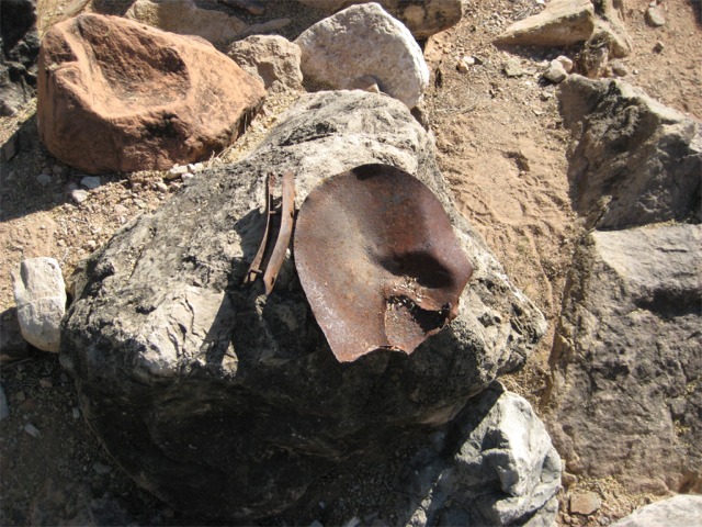
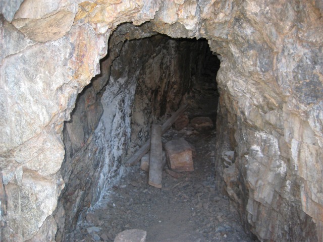
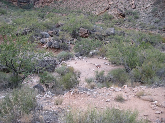
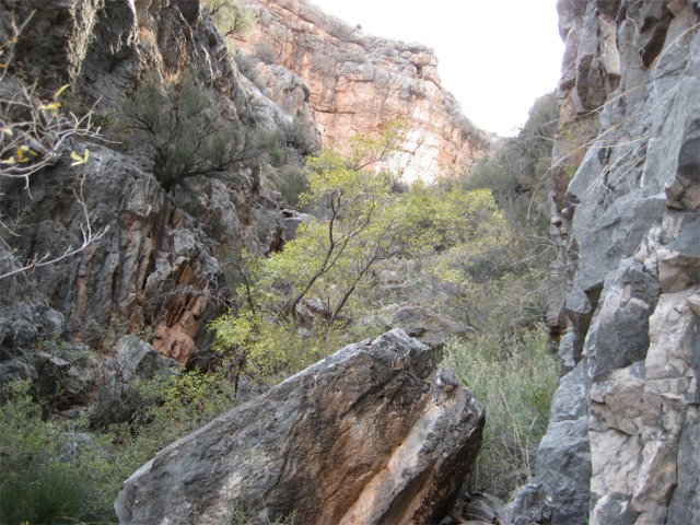
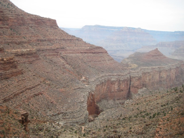
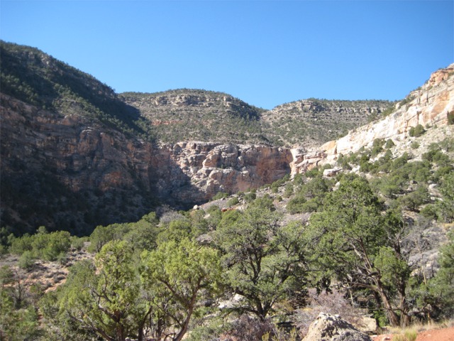
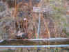
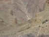
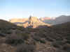
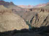
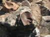
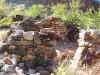
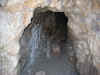
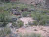
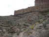
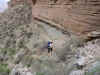
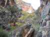
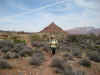
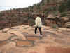
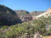
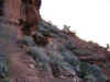
On the third day, we hiked over to a camping spot near Boucher Creek. There is a mine and remnants of stone structures in the area. Some sheep were grazing on the hills just across the creek from our camp. This is a nice spot to hang out and relax. We explored down Boucher Creek a short distance, but did not go 
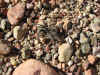
to the Colorado River. We saw some pretty impressive spiders walking on the creek bed.


img_0617.jpg (73160 bytes)    img_0625.jpg (71762 bytes)    img_0626.jpg (75572 bytes)    img_0636.jpg (82853 bytes)    img_0637.jpg (128312 bytes)    img_0641.jpg (102134 bytes)

img_0644.jpg (100622 bytes)    img_0650.jpg (109980 bytes)    img_0652.jpg (89655 bytes)    img_0663.jpg (98849 bytes)    img_0671.jpg (137749 bytes)    img_0678.jpg (124234 bytes)

img_0689.jpg (149969 bytes)    img_0694.jpg (107562 bytes)    img_0701.jpg (131579 bytes)    img_0711.jpg (122278 bytes)    img_0717.jpg (44671 bytes)    img_0723.jpg (75863 bytes)


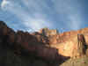
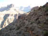
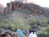
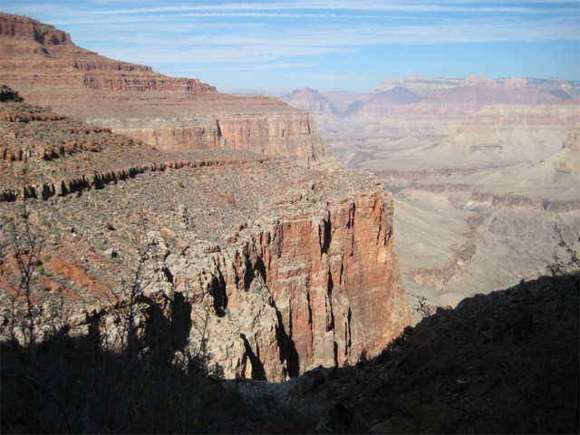
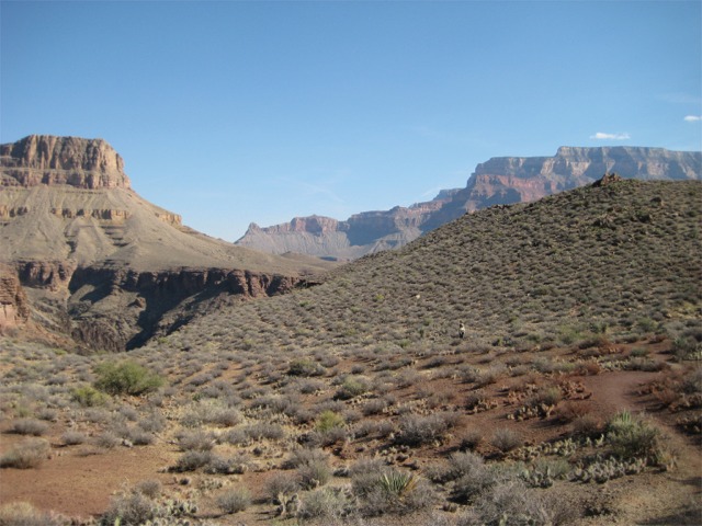
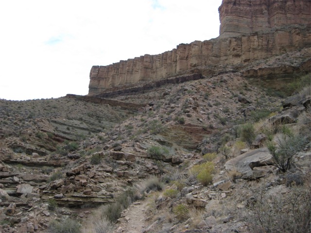
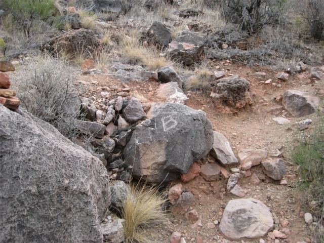
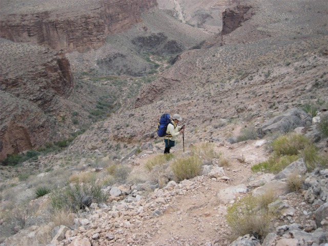
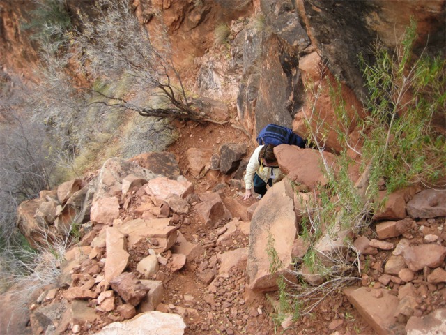
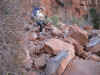
After two nights at Boucher Creek, we packed up and headed up the Boucher 
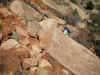
Trail. Junction of the Boucher and the Tonto is marked with a B scratched into a rock.


img_0725.jpg (130968 bytes)    img_0730.jpg (99136 bytes)    img_0731.jpg (146080 bytes)    img_0733.jpg (65553 bytes)    img_0738.jpg (126333 bytes)

img_0742.jpg (93584 bytes)    img_0749.jpg (129483 bytes)    img_0761.jpg (136167 bytes)    img_0762.jpg (140984 bytes)    img_0768.jpg (107516 bytes)

img_0769.jpg (72911 bytes)    img_0770.jpg (63708 bytes)    img_0775.jpg (88770 bytes)    img_0790.jpg (97650 bytes)    img_0792.jpg (139270 bytes)


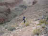
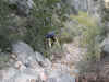
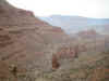
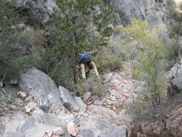
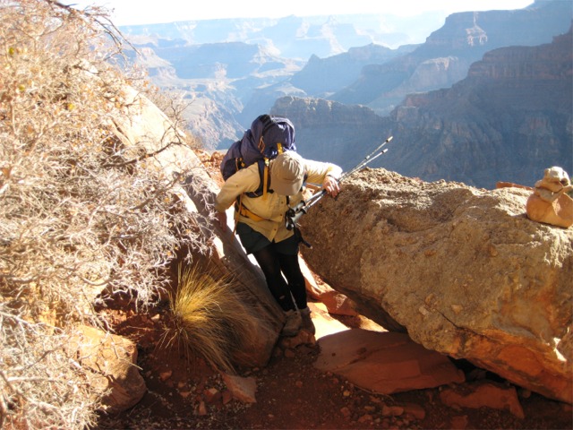
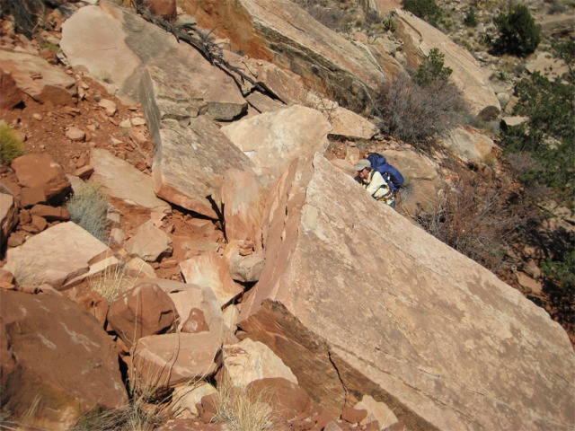
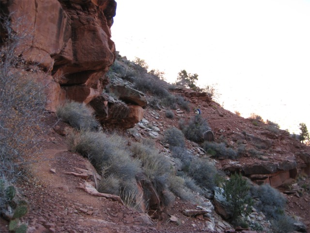
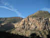
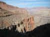
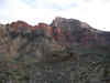
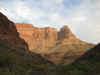
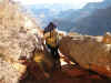
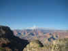
Perhaps it is our ages catching up to us, but climbing out of the Boucher seemed to be the hardest trail we had experienced so far (perhaps with the exception of the start of the south Canyon trail). Regardless of the reason, we 
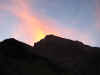
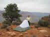
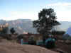
were happy to arrive at our Yuma Point destination for our final camp.


img_0803.jpg (93640 bytes)    img_0804.jpg (82662 bytes)    img_0808.jpg (109362 bytes)    img_0811.jpg (131519 bytes)    img_0812.jpg (109520 bytes)

img_0822.jpg (61807 bytes)    img_0830.jpg (70599 bytes)    


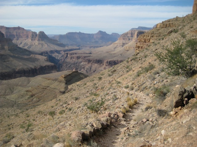
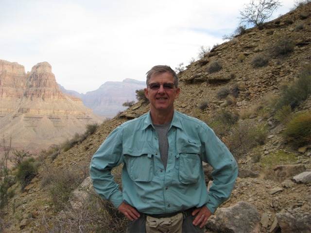
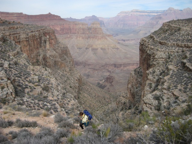
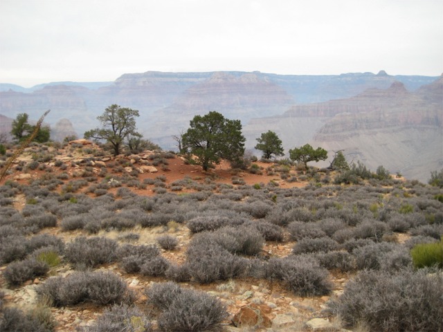
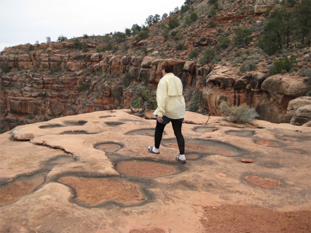
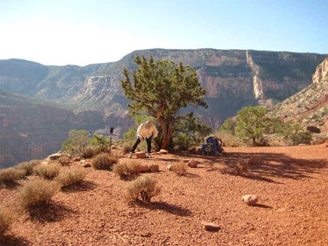
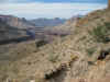
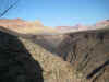
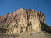
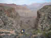
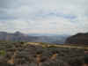
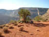
The hike from Yuma Point to the junction with Hermit is not challenging, and is a pleasant walk. After the final climb on the Hermit, we headed for Flagstaff for our traditional mushroom Swiss cheeseburgers at Busters Restaurant.


img_0842.jpg (120124 bytes)    img_0848.jpg (119009 bytes)    img_0856.jpg (123981 bytes)    img_0861.jpg (122480 bytes)

img_0863.jpg (135123 bytes)    img_0869.jpg (93006 bytes)    img_0876.jpg (65434 bytes)    img_0880.jpg (103360 bytes)


Copyright © 2000-2013 James W. Lyons - All rights reserved. Pictures and text found on this website may be freely used for private purposes. No commercial use or reproduction is allowed without the express written permission of the author. Email your request to copyright@rijim.com.